
Album: Timor-Leste anticipatory mapping
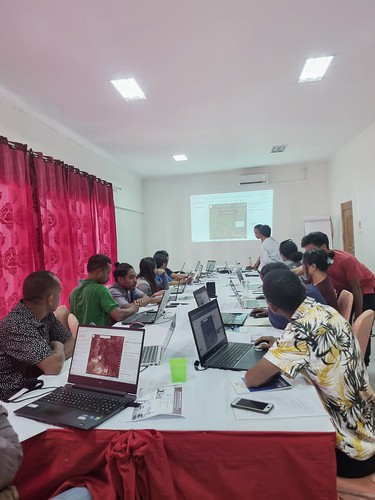 1-Open mapping workshop in Dili
 2-Rice farmers changed livelihoods from rice growing to livestock due to reocurring floods
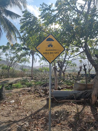 3-Risk communiation in Manatuto
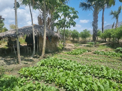 4-Vegetable gardens where rice fields used to be but were destroyed in the last big flood in the Laclo Valley (Manatuto)
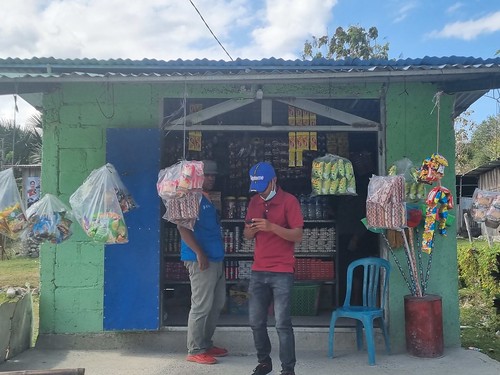
 5-Market in Naimeco, Oecusse region
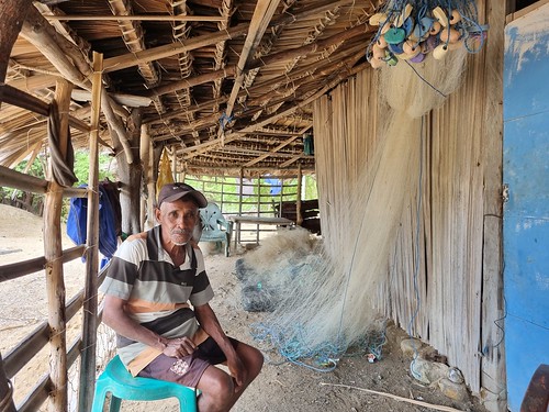 6-A fisher at his home in Manatuto
 7-A local man shows the marks the last big flood left at a house at the local market in Oecusse
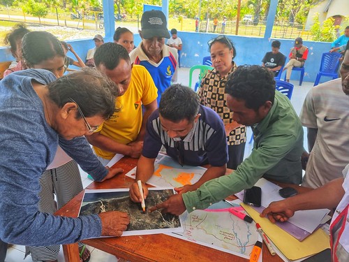 8-Community mapping of early warning capacities in the Laclo Valley (Manatuto)
 9-Community mapping of evacuation routes in the Laclo Valley (Manatuto)
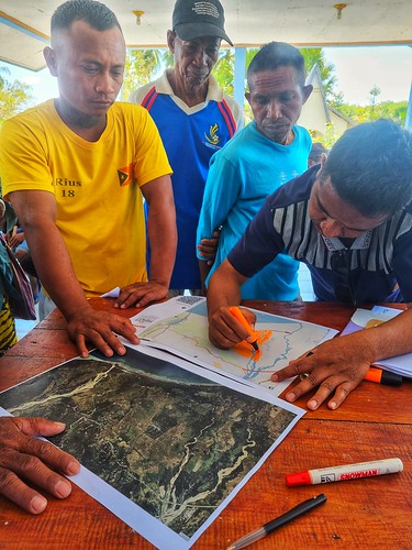
 10-Community mapping of flood areas in Manufahi
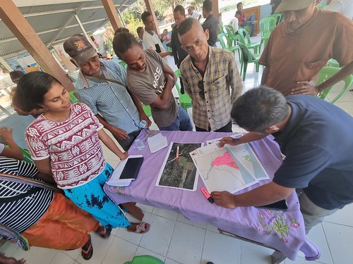
 11-Community mapping of flood impacts in the Laclo Valley (Manatuto)
 12-Community meeting in the Laclo Valley (Manatuto)
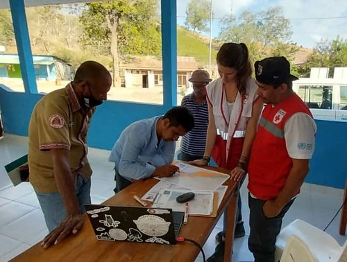
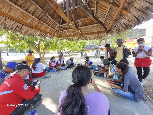
 13-Community workshop on remote sensing data and open mapping in the Laclo Valley (Manatuto)
 14-Field data collection in the Laclo Valley (Manatuto) by community members and volunteers
 15-Field data collection of local businesses in Covalima
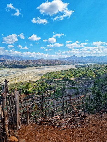 16-Laclo valley, Manatuto